PWDRON
DRONE-BASED AUTOMATED LINEAR CIVIL ENGINEERING INFRASTRUCTURE MONITORING SYSTEM

Objective
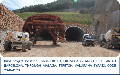
The main goal of the project is to develop a centralised automated monitoring system for the execution of infrastructures in linear civil works (highways, dual carriageways, roads, bypasses, railways and stations, large-volume earthworks, stability of slopes and channelling networks) based on drones with advanced technological features, specifically developed within the framework of the project, as well as on a new technological platform for data exchange, treatment and distribution.
- An industrial grade vehicle will be developed, one that can be adapted to all linear civil work scenarios, which will enable automated data acquisition.
- The drone will automatically capture the point cloud associated with the project and link it to a 3D model generating tool, thus allowing the implementation of the BIM methodology and integration with GIS technology (GeoBIM model).
- The data collection process, its processing as a digital model and the collection of results applicable to the requirements of the civil work in each of the stages of the construction process will be automated.
2017-2019
Executed by:


Financed by: